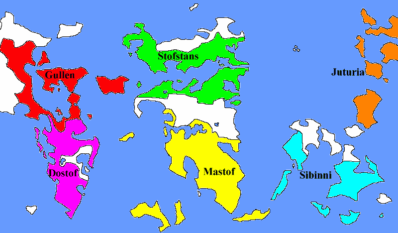
Notice the vaugue resemblence of these continents to those of Earth. One of these days I will explain how this came about in real life. There is no good story-internal explanation for this.
See also Migration Maps, although those are less accurate.
This map shows the relative sizes and locations of the Elosian Empire, Stofonian Empire, and the modern-day Republic of Stofonia. Note that the Stofonian Empire included the other two within its area.
The Stofonian Empire was divided into major divisions called Elikalns. Immediately before the Fracture (Earth Year Equivalent 1902), there were six. This map shows the locations of these.
Note that Knarr is not depicted as part of any Elikaln, since it was no longer a part of the empire when the Elikalns were organized. Knarr was the only territory permanently lost by the Stofonians before the Fracture.
Click on the map for a larger version that shows not only the Elikalns but also the Sinist, the next level of division beneath the Elikaln.
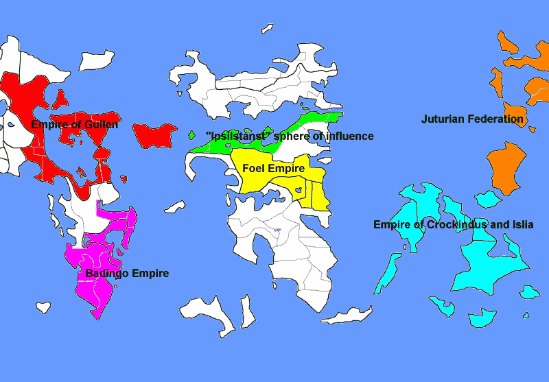
This map shows several other large political entities at their greatest extents. Riskton never really looked like this map, it is a composite of different time periods.